The Great American Eclipse of 2017 passed just south of me and I decided I wanted to go see it - none of my friends were interested. With reports of crowds and traffic armageddon, I decided to stay farther east than the bigger crowds on the US97 corridor. I examined the Oregon map for the BLM, whose land is open to backpacking. I wasn't looking for a trip deep into the wilderness because likely there would no water. I just wanted to get far enough from the road and the crush of car campers. I found Sutton Mountain, a BLM wilderness study area, just north of Mitchell, OR, and virtually on the center line of the path of totality. All worked according to plan.
The day before the eclipse I drove down, with no traffic at all. Got lunch in Condon on the way. When I got to one of the parking areas for Sutton Mtn, it was packed with car campers, many with their tents on pretty steep slopes.

But I found enough space to park my car and found a wide opening in the barbed wire and headed up the trail

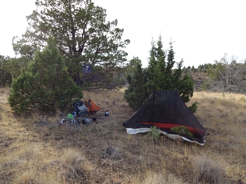
I set up camp 0.6 miles up the trail. I just wanted the first flat spot with a view to the east. There were a few people camped farther up, including on a knoll that apparently had views west as well - in hope of seeing the shadow approaching at over 2000 mph. Here is my camp.

This is a photo of the eclipse app on my phone (I had 4 bars up there). The whole scene is the path of totality and the blue line is the center line, showing that I was indeed in the middle of the path of totality

I had a nice sunset, though the amount of clouds was worring

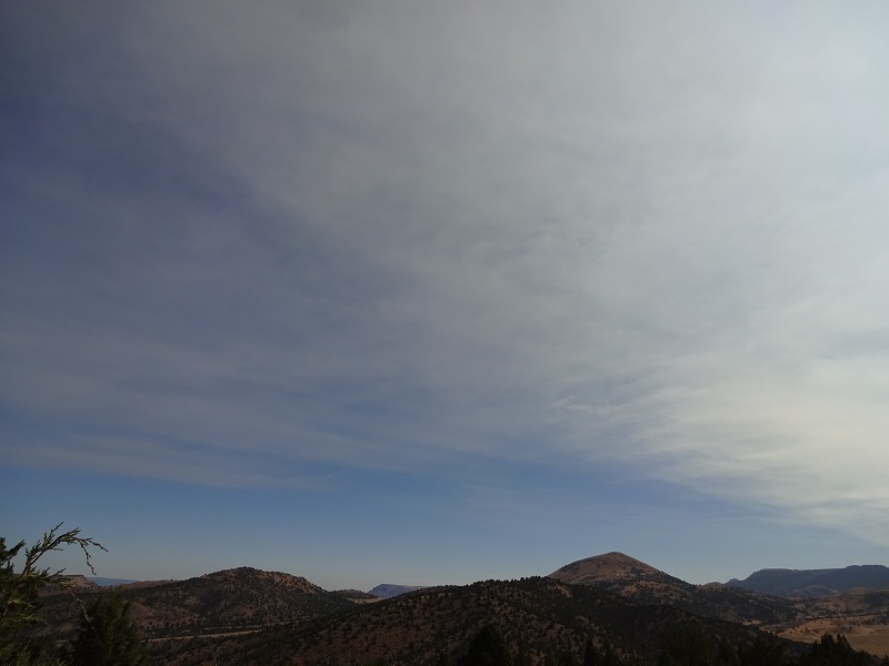
The morning dawned completely clear and blue, but as the partial eclipse was growing, thin high clouds started moving in, and it was too late to try and go elsewhere.

So I stayed put. My pics of the partial eclipse - holding the eclipse glasses in front of the camera, did not work, but to my surprise, the picture of the total did work!
